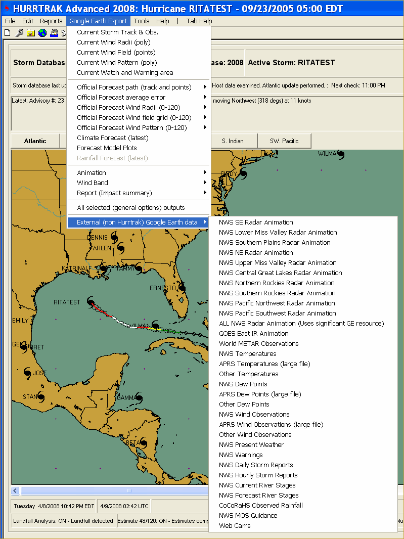
Using Google Earth "External" Data
One of the options within the Google Earth Export option is "External (non Hurrtrak) Google Earth Data".
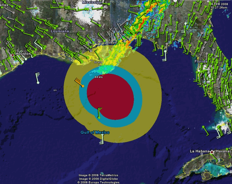
It allows the user to export National Weather Service and other weather information to display on Google Earth. This data includes radar, satellite, wind, temperature, dew point, river stages and more! When this information is displayed with Hurricane layers exported from the Hurrtrak system the user is able to view both storm and "weather" information on the same Google Earth image. An example of hurricane wind radii superimposed with radar and wind data is shown below.
Please note that the sources of this weather information is external to PC Weather Products and its content may change over time. The system will automatically adjust to these changes and the menu drop down may not always be as indicated above. We expect the amount of information will increase as time goes on.