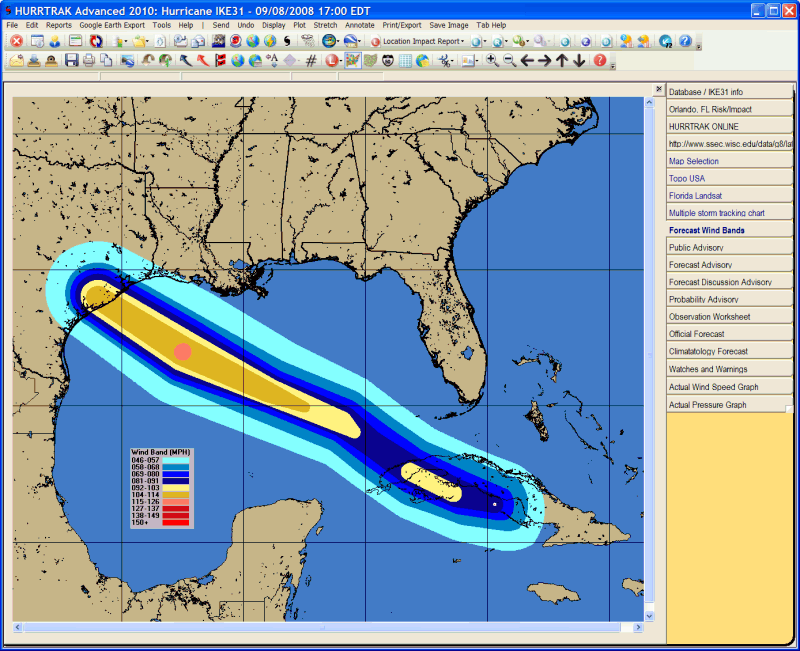
Wind Bands Tab
Description:
This tab displays the actual and/or forecast wind band analysis information
for the current loaded storm. Additional storm tracking and analysis functions
are available from here. The
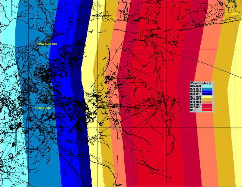
2nd image is an example of likely sea heights with Hurricane Ivan.
Note: The wind and sea height analysis
images are identical. The only difference
is the legend selected.
Tab Created by: Map Select Tab, Variable Track Chart Tab, Favorite Tracking Chart Tab
Tab Close Allowed: Yes
Functions Available:
Menu/Toolbar:
Standard System Menu Functions
Toolbars: See Appendix Section for more information.
Miscellaneous:
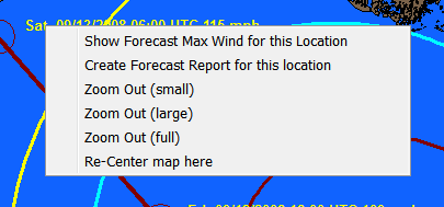
The
user can zoom in by rubber banding an area on the screen. Other pan and zoom options
are available by right clicking anywhere on the map image.
Tips:
You can specify the wind band wind levels from the Wind Band Options.