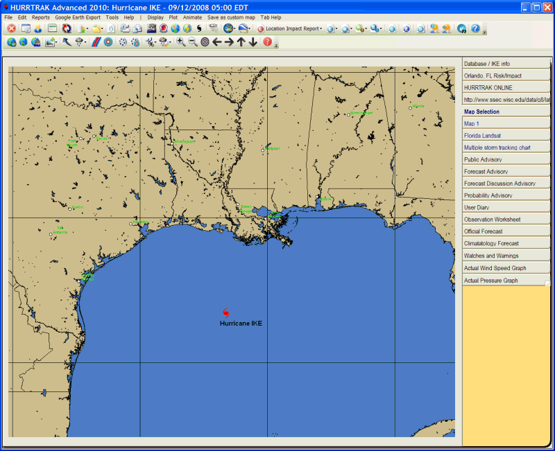
Map Selection Tab
Description: This tab displays a detailed map of the systems tracking area. You can pan and zoom using the mouse and toolbar options to select the tracking map you would like to use. When you have selected the desired map, you may then select from several other system functions.
Tab Created by: Always present when a storm is loaded
Tab Closed Allowed: No
Functions Available:
Menu/Toolbar:
Standard System Menu Functions
Display:
Overlay
Control Center –
This is an advanced function which allows the user to display various GIS overlays
on a tracking map.
This is described in much more detail in Appendix
Overlay Control Center.
Counties - Displays the county boundaries on the current map. This must be done on this tab if you would like to display the counties when performing other mapping functions on the variable maps.
Strike Probabilities- Plots the forecast strike probabilities using the current map on a separate tab.
Wind Probabilities- Plots the forecast wind probabilities using the current map on a separate tab.
Forecast Rainfall Analysis - Plot the forecast rainfall analysis using the current map on a separate tab.
Forecast Rainfall Thematic - Plots the forecast rainfall by showing a color coded county thematic map. This appears in a separate tab.
Wind Pattern - Plots the wind pattern graphic using the current map and current storm wind field on a separate tab.
Wind Bands (Forecast / Actual) - Plots the forecast or actual wind band analysis using the current map on a separate tab.
SLOSH/Storm
Surge for this area - Opens
up the SLOSH display program and loads data for the area selected on the map.
You must be at an appropriate zoom level to select this option.
Plot:
EZ Map - Automatically creates a tracking map with several plotting options as defined in the General User Options.
Tracking Chart with plot- Plots the storm's current track and position, with wind areas depicted, using the current map on a separate tracking chart tab.
Tracking Chart with no plot - Displays the current map with only a hurricane symbol depicting the storm's latest position. This is shown on a separate tab.
Forecast Position - Using the current map, this options display a storm's forecast position on a separate tracking chart tab.
Animate(Actual / Forecast) - Using the current map, this option animates the storm's actual and/or forecast track depicting the standard wind areas. This appears on a separate tab.
Save as custom map - This option allows the user to save the current map image as a custom "favorite" tracking map. This is the recommended method in creating a custom map vs. the Custom Map Maker function.
Zoom in/out (tool bar icons) - This option allows the user to magnify or reduce the current map image
Toolbars: See Appendix Section for more information.
Tips:
MISC:
The image on this tab is automatically used when using the Pan and Zoom options from a tracking chart.